The Amazon River
The river carrying a fifth of Earth's runoff. The Amazon carries more water than any other river, about a fifth of all river flow to the oceans. Its size, seasons and how to see it.
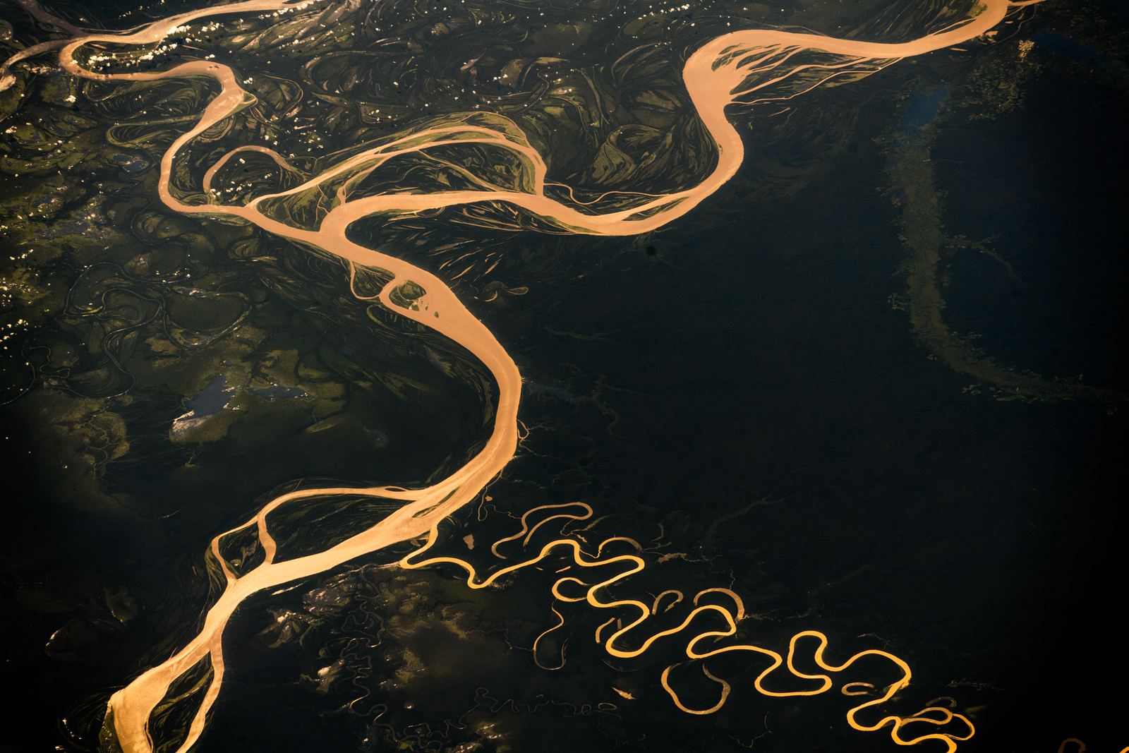
The Amazon River from the air: Alexander Gerst, CC BY-SA 2.0
A river of extremes
The Amazon starts as meltwater and springs high in the Peruvian Andes, within about 160 km of the Pacific, then flows the other way across the whole continent to the Atlantic. Whether it is longer than the Nile depends on where you measure the source, and experts still argue about it. On every other measure, it is the greatest river on Earth.
On average, around 200,000 cubic meters of water pour out of its mouth every second. That is about a fifth of all the water that rivers deliver to the world's oceans, more than the next several largest rivers combined. The fresh water is so powerful it pushes far out to sea before it mixes with salt water.
Video: Expedition Amazon: Into the Waters | National Geographic (National Geographic), embedded from YouTube.
A basin the size of a continent
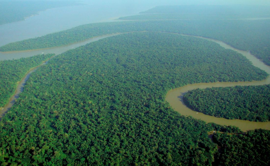
The Amazon basin covers about 7 million square kilometers, spread across several South American countries, and holds the largest tropical rainforest on the planet. More than a thousand tributaries feed the main river, and several of them, such as the Rio Negro and the Madeira, would rank among the world's largest rivers on their own.
Near Manaus in Brazil, the dark, tea-colored Rio Negro meets the sandy-brown main river, known locally as the Solimões. Because they differ in temperature, speed and density, the two flow side by side without mixing for several kilometers, a sight called the Meeting of the Waters.
A forest that floods
Every year rains in the basin raise the river by many meters. Wide areas of forest, called várzea and igapó, flood for months, and fish swim among the tree trunks eating fallen fruit and seeds. Pink river dolphins, giant otters and the huge arapaima fish all depend on this rhythm.
That rhythm is under stress. In 2023 and 2024 severe droughts dropped the Rio Negro at Manaus to its lowest levels on record, stranding boats and cutting off river communities. Deforestation and climate change both affect how much rain the basin produces, since the forest itself recycles much of the moisture that falls on it.
Seeing the Amazon
There are no bridges across the main river: towns and cities are linked by boats and planes. Manaus in Brazil and Iquitos in Peru, the largest city in the world that cannot be reached by road, are the main gateways for lodges and river cruises.
The high-water season, roughly December to May, is ideal for canoeing through flooded forest. The low-water months, June to November, expose sandy beaches and forest trails and concentrate wildlife near the water. Bring insect repellent and check health advice, such as yellow fever vaccination, before you go.
- Britannica: Amazon River
- Britannica: Amazon River, Physiography of the river course
- Britannica: Amazon River Facts
Facts on this page were checked against these sources.
- The Amazon River from the air: Alexander Gerst, CC BY-SA 2.0
- The rainforest canopy: lubasi, CC BY-SA 2.0
Text written by Geographical Effect.