Torres del Paine W Trek
Patagonia's most famous multi-day hike. The W Trek in Chile's Torres del Paine covers about 80 km past granite towers, glaciers and lakes. Distance, booking rules and seasons.
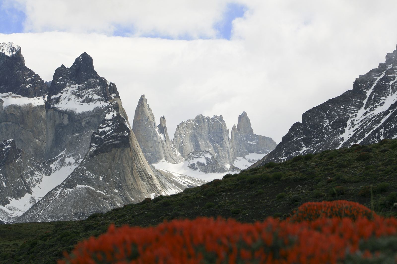
Cuernos and Torres del Paine: Diego Delso, CC BY-SA 3.0
A trail shaped like a letter
The W Trek gets its name from its route. It runs along the southern edge of the Paine Massif, a block of mountains in Chilean Patagonia, and makes three detours north into the range, tracing the shape of a W. Each arm leads to a different highlight: the granite towers that give the park its name, the hanging glaciers of the French Valley, and the vast ice face of Grey Glacier.
Most hikers cover about 80 km in four or five days, sleeping in campsites or mountain refuges. The full loop, called the O Circuit, adds the remote northern side of the massif and takes around eight days.
Video: What to Expect: Torres del Paine National Park | Patagonia | Lindblad Expeditions (National Geographic-Lindblad Expeditions), embedded from YouTube.
Granite, ice and wind
The towers and the dark-capped horns of Los Cuernos are made of pale granite that cooled underground about 12 million years ago, sandwiched between darker sedimentary rocks. Glaciers later carved away the softer rock, leaving sheer walls and spires. The dark tops of the Cuernos are remnants of that older sediment still sitting on the granite.
The lakes below are colored by rock flour ground by the ice, giving them shades of milky turquoise and deep blue. Patagonian wind is the other constant. Gusts over 100 km/h are common in summer, strong enough to knock hikers off balance on exposed sections.
The hardest part
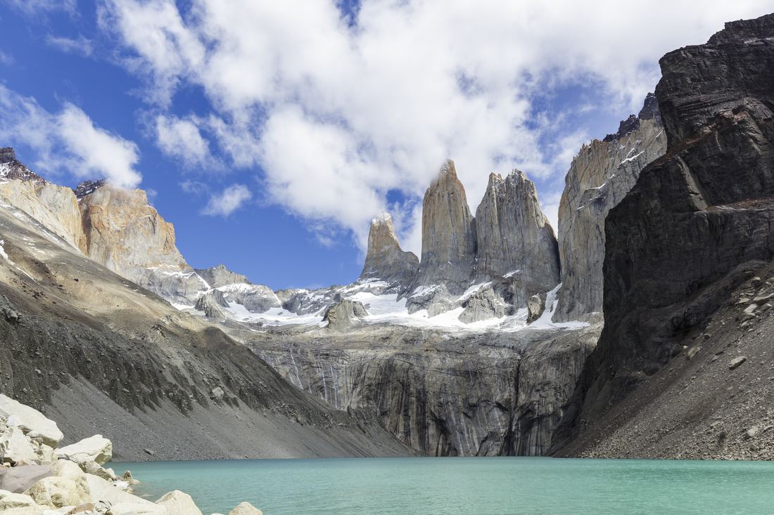
The trek is not technical, but it is long and the weather is unpredictable. The steepest effort is the climb to the Base Torres viewpoint, which gains about 750 m and ends with a scramble over a field of boulders. Many hikers start it before dawn to see the towers glow pink at sunrise.
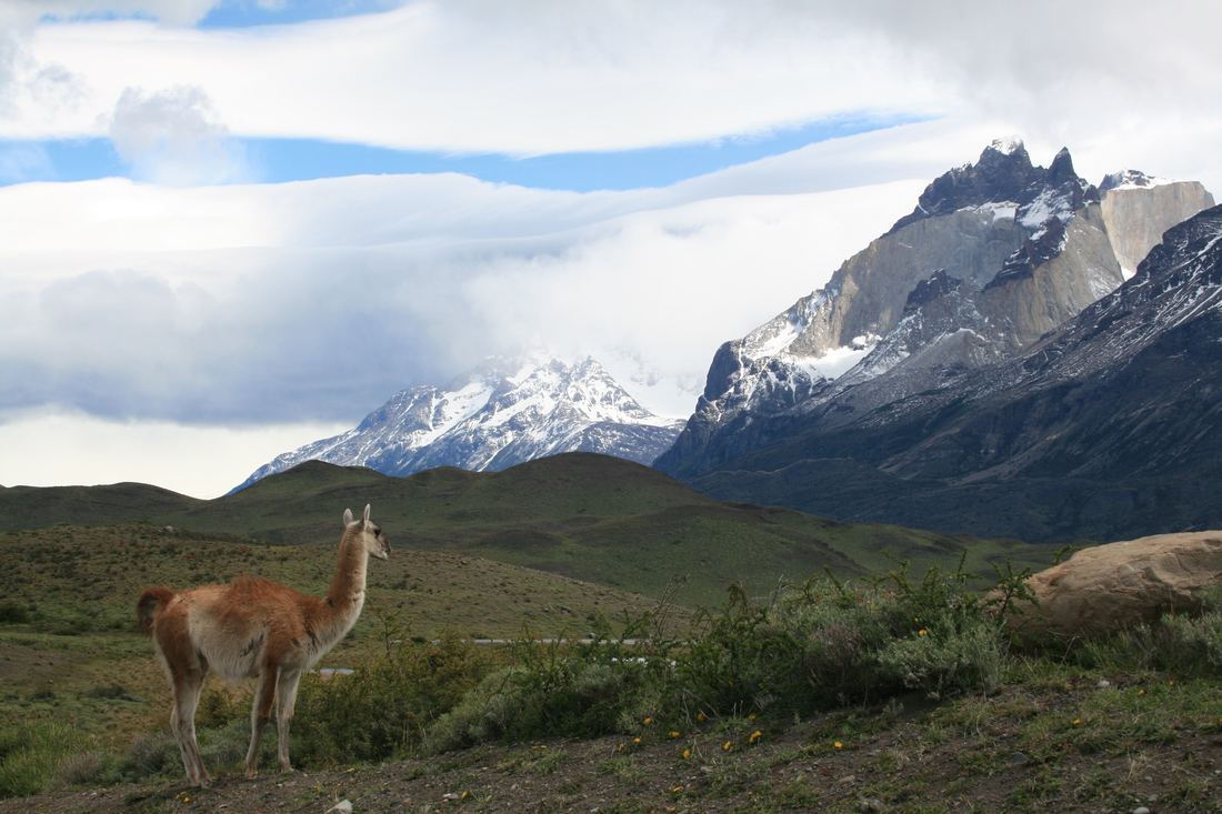
Elsewhere the path rolls along lake shores and through forests of southern beech. Wildlife is part of the experience: guanacos graze on the open steppe, Andean condors ride the wind and, with luck, you may glimpse a puma.
Permits and booking
Torres del Paine is a Chilean national park run by CONAF, and entry tickets must be bought online in advance through its Pases Parques site, with daily limits in peak season. Overnight trekkers must reserve every campsite or refuge night in advance with the companies that run them, and rangers check bookings along the trail. In peak season places sell out months ahead.
The trail season runs roughly from October to April, with the longest days and warmest weather from December to February. Bring waterproof layers, trekking poles and a sturdy tent if camping. Fires are banned: a few large blazes caused by visitors have burned big areas of the park.
- Wikipedia: Torres del Paine National Park
- Patagonia Tourism: Torres del Paine Tickets, How to Buy (2026 Guide)
- Vertice Patagonia: Book Torres del Paine for the 2025-2026 season
- Swoop Patagonia: W Trek complete guide
Facts on this page were checked against these sources.
- Cuernos and Torres del Paine: Diego Delso, CC BY-SA 3.0
- The towers at Base Torres: Thomas Fuhrmann, CC BY-SA 4.0
- Guanacos in the park: Diego Delso, CC BY-SA 3.0
Text written by Geographical Effect.