Cape Town and Table Mountain
A city under a flat-topped mountain. Cape Town wraps around Table Mountain, a sandstone giant with its own cloud and thousands of plant species. Hikes, cableway and timing.
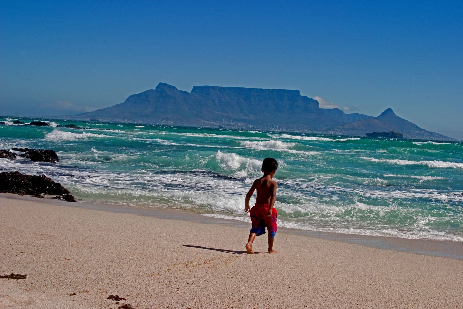
Table Mountain from Blouberg: South African Tourism from South Africa, CC BY 2.0
A mountain in the middle of a city
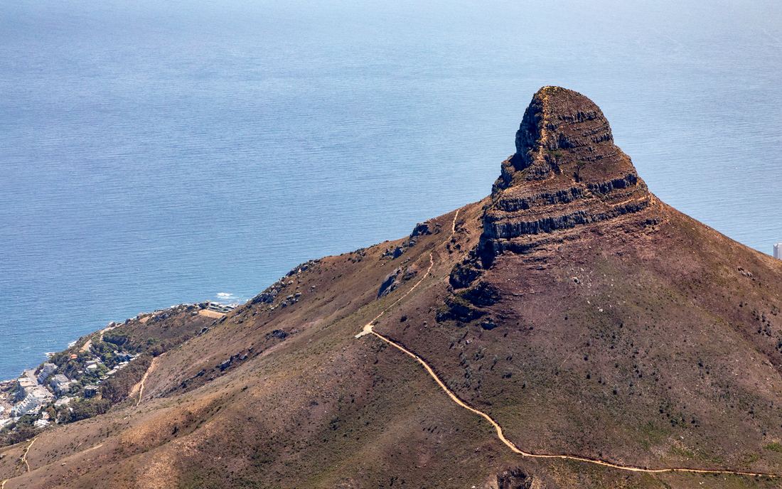
Few cities are as defined by a single landform as Cape Town. Table Mountain rises straight from the edge of the city center to a summit plateau about three kilometers long, and neighborhoods wrap around its slopes and spill along the Atlantic and False Bay coasts. Lion's Head and Devil's Peak flank it like bookends.
The flat top is made of hard, layered sandstone that formed from sediments laid down hundreds of millions of years ago. Softer rocks around it have eroded away, leaving the sandstone standing as a mesa. Much of the mountain and the Cape Peninsula south of it is protected as Table Mountain National Park.
Video: Cape Town’s Table Mountain, Explained (Bright Trip), embedded from YouTube.
The tablecloth and the winds
In summer a strong south-easterly wind, nicknamed the Cape Doctor, pushes moist air up the mountain's back slopes. As the air rises it cools and condenses into a smooth layer of cloud that spills over the summit edge and pours down toward the city, then evaporates in warmer air below. Locals call it the tablecloth.
The same wind clears smog from the city, but it can also close the cableway and make the summit cold and dangerous. Weather on the mountain changes fast, and many hikers have been caught out by sudden cloud.
A floral kingdom
Table Mountain sits in the Cape Floristic Region, the smallest of the world's six floral kingdoms and one of the richest. The Cape Peninsula, with Table Mountain at its heart, has about 2,285 recorded plant species, many of them found nowhere else. Most belong to fynbos, a hardy shrubland of proteas, heaths and reed-like restios adapted to poor soils, dry summers and regular fires.
Fire is part of fynbos life: many seeds only germinate after smoke and heat. That is why burned slopes on the mountain often burst into flower a year or two later.
Getting to the top
The cableway carries visitors up in rotating cars that turn a full circle on the way, giving a sweeping view of the city and Table Bay. Hikers usually take Platteklip Gorge, a direct but steep route of stone steps that takes about two to three hours. Other routes, such as Skeleton Gorge from Kirstenbosch Botanical Garden, are longer and more scenic.
Start early, carry water and a warm layer, hike with others and check the weather and cableway status before you go. October to April brings the driest and warmest weather, though summer wind can be fierce.
- University of Cape Town: 33 cool facts about Table Mountain
- Koedoe: Plant checklist for Table Mountain National Park and surrounding areas
- City of Cape Town: Census 2022 Cape Town Profile
- Wikipedia: Table Mountain
Facts on this page were checked against these sources.
- Table Mountain from Blouberg: South African Tourism from South Africa, CC BY 2.0
- Lion's Head from Table Mountain: Dietmar Rabich, CC BY-SA 4.0
Text written by Geographical Effect.