Venice, Italy
A city built on a lagoon. Venice stands on more than 100 islands in a shallow lagoon, linked by canals and about 400 bridges. How it was built and why it floods.
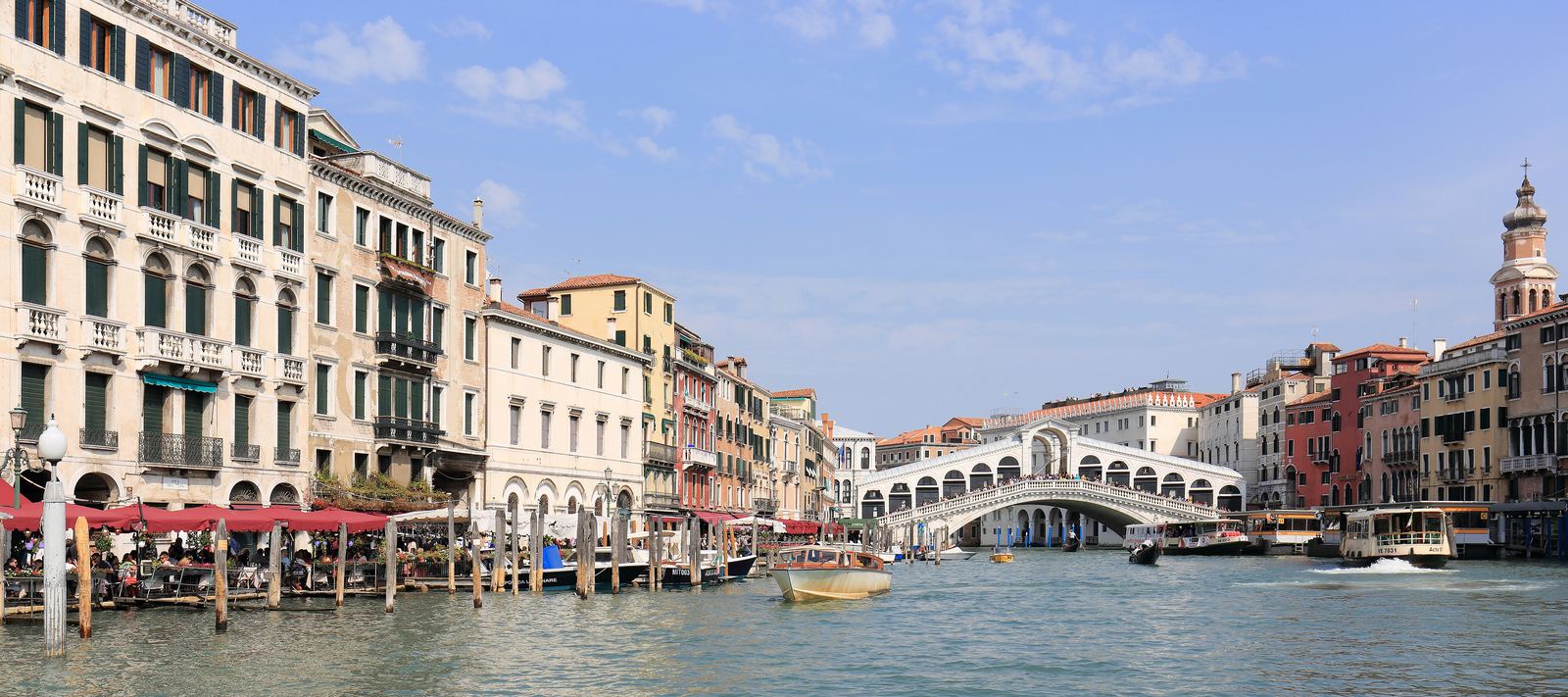
The Grand Canal and Rialto Bridge: Martin Falbisoner, CC BY-SA 4.0
A refuge in the marshes
Venice began as a hiding place. As the Roman world broke apart, people from the mainland fled to the low islands of a shallow lagoon at the head of the Adriatic Sea. The mudflats and winding channels were hard for armies to reach and easy for locals who knew the way, and over centuries scattered settlements grew into one of the richest cities in Europe.
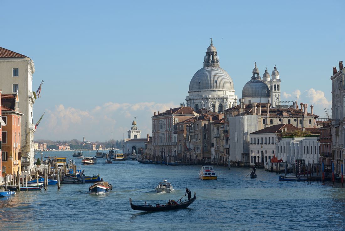
That watery geography made Venice a sea power. For hundreds of years the Republic of Venice controlled trade between Europe and the eastern Mediterranean, and the wealth of spices, silk and salt paid for the palaces that line the Grand Canal.
Video: Venice: A Tourist's Dream, a Local's Nightmare (DW Travel), embedded from YouTube.
How do you build on mud?
Venetian builders drove millions of wooden piles, many of them larch and oak, deep into the soft lagoon floor. Because the wood sat underwater and out of contact with air, it hardened rather than rotting. On top of these piles they laid wooden platforms and then waterproof Istrian stone, and only then the brick walls of houses and churches.
The result is a city of about 118 small islands, separated by canals and stitched together by roughly 400 bridges. The S-shaped Grand Canal runs about 3.8 km through the middle, and boats, not cars, carry everything from groceries to ambulances.
High water and a shrinking population
Venice faces a double squeeze. The ground beneath it has slowly sunk over the centuries, while the sea has been rising. Unusually high tides, called acqua alta, flood the lowest squares several times a year, mostly in autumn and winter. In November 2019 the water reached its second highest level on record and caused severe damage.
Since 2020 a system of mobile barriers known as MOSE can rise from the seabed at the three inlets to the lagoon and hold back dangerous tides. At the same time, the historic center has lost much of its population, now below 50,000, while millions of visitors arrive each year. On set peak days in spring and early summer (60 days in 2026), day-trippers pay an access fee.
Visiting well
Spring and early autumn bring pleasant weather and fewer crowds than summer. Stay overnight if you can: early mornings and evenings, after the day visitors leave, show a calmer city. Use the vaporetto water buses, wander away from the main routes between Rialto and San Marco, and you will find quiet canals and neighborhood squares.
In winter, pack waterproof boots and check the tide forecast. Raised walkways appear in the lowest areas during high water.
- Wanted in Rome: Venice population continues to drop
- Lonely Planet: Venice introduces new booking system and entry fee
- 22places: Venice Entry Fee 2026
- WorldAtlas: How Many Islands Does Venice Have?
Facts on this page were checked against these sources.
- The Grand Canal and Rialto Bridge: Martin Falbisoner, CC BY-SA 4.0
- Santa Maria della Salute: Wolfgang Moroder, CC BY-SA 3.0
Text written by Geographical Effect.